|
|
|
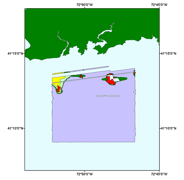
TEXTURE: surficial sediment distribution interpretation of the sidescan sonar mosaic of NOAA survey H11043 off Branford, Connecticut |
Metadata also available as: FAQ | TEXT
Access to the data and information contained on this CD-ROM was developed using the HyperText Markup Language (HTML) utilized by the World Wide Web (WWW) project. Development of the CD-ROM documentation and user interface in HTML allows a user to access the information by using a variety of WWW information browsers to facilitate browsing and locating information and data. To access the information contained on this disk with a WWW client browser, open the file 'index.htm' at the top level directory of this CD-ROM with your selected browser.
This CD-ROM should be readable by a variety of operating systems including Windows 95/98/NT, Macintosh and UNIX.