Skip past header information USGS Logo with link to USGS web page
Coastal Vulnerability Assessment of Cape Hatteras National Seashore to Sea-Level Rise, USGS Open-File Report 2004-1064


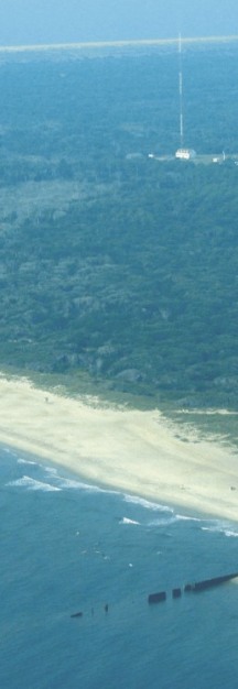
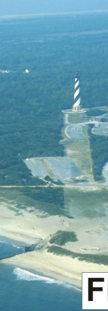
Figure 9. The new location of Cape Hatteras Lighthouse. The old location was behind the groin in the foreground. The groin in the photo is one of three that were built to protect the lighthouse prior to its relocation in 1999-2000 (very high to high vulnerability).


Figure 9. The new location of Cape Hatteras Lighthouse. Figure 9. The new location of Cape Hatteras Lighthouse. Figure 9.  The new location of Cape Hatteras Lighthouse.

Skip Footer Information

U.S. Department of the Interior, U.S. Geological Survey
URL: http://pubs.usgs.gov/of/2004/1064/html/fig9.html
Maintained by Publishing Services
Last modified: 09:14:54 Thu 20 May 2004
Privacy statement | General disclaimer | Accessibility