
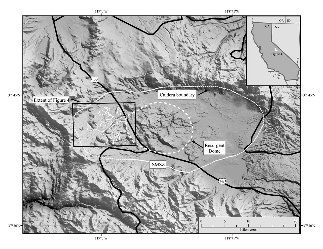
Figure 1 - Shaded relief image of the Long Valley Caldera,
California. Locations of the caldera's topographic boundary, the
Resurgent Dome, and the South Moat Seismic Zone (SMSZ) are noted.
The study area is indicated by the black box. Solid white lines
represent traversed jeep trails where
the ground magnetic data were collected.
| AccessibilityFOIAPrivacyPolicies and Notices | |
| |
|