Skip past header information USGS Logo with link to USGS Web page
Coastal Vulnerability Assessment of Cumberland Island National Seashore to
Sea-Level Rise, USGS Open-File Report 2004-1196


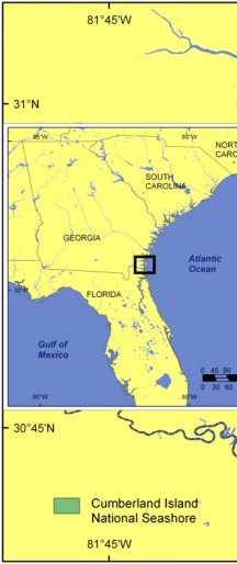
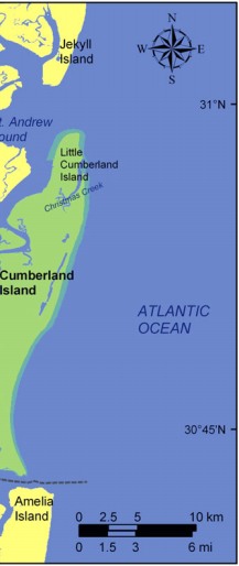
Figure 1. Location of Cumberland Island National Seashore, Georgia. For NPS park map see http://www.nps.gov/cuis/pp html/maps. html.


Figure 1.   Location of Cumberland Island National Seashore, Georgia. Figure 1.   Location of Cumberland Island National Seashore, Georgia. Figure 1.   Location of Cumberland Island National Seashore, Georgia.

Skip Footer Information

U.S. Department of the Interior, U.S. Geological Survey
URL: http://pubs.usgs.gov/of/2004/1196/html/fig1.html
Maintained by Publishing Services
Last modified: 13:51:12 Fri 24 Sep 2004
Privacy statement | General disclaimer | Accessibility