Skip past header information USGS Logo with link to USGS Web page
Coastal Vulnerability Assessment of Cumberland Island National Seashore to
Sea-Level Rise, USGS Open-File Report 2004-1196


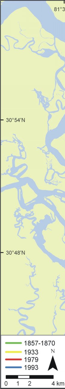
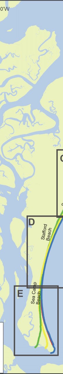
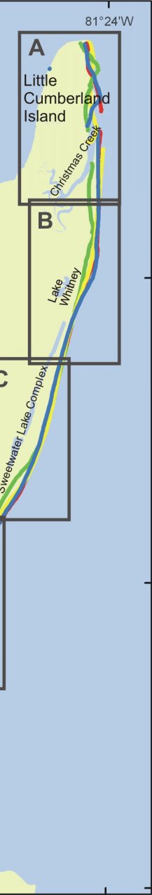
Figure 4A-E. Historic shoreline positions for A) Little Cumberland Island, Christmas Creek area, and Long Point B) Lake Whitney and Wilderness Area C) Sweetwater Lake Complex D) Stafford Beach E) Sea Camp Beach to north jetty at St. Marys entrance.

Click on each area for larger image.


Figure 4. Historic shoreline positions. Figure 4. Historic shoreline positions . Figure 4. Historic shoreline positions.
Figure 4C. Sweetwater Lake Complex. Figure 4D. Stafford Beach. Figure 4E. Sea Camp Beach to north jetty at St. Marys entrance. Figure 4A. Little Cumberland Island, Christmas Creek area, and Long Point. Figure 4B. Lake Whitney and Wilderness Area. Figure 4C. Sweetwater Lake Complex.
Skip Footer Information [an error occurred while processing this directive]