|
|
|
|
|
| Report Home | Maps | Overview | Mapping Methods | Coastal Classifications | Geologic Setting | Coastal Processes | Coastal Vulnerability | Classification Summary | References | |||||||||||||||||||||||||||||||
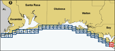
| Introduction || City: Orange Beach | Perdido Bay | Fort Barrancas | Gulf Breeze | Oriole Beach | South of Holley | Holley/South of Holley | Navarre | Mary Esther | Fort Walton Beach | Destin | Choctaw Beach/Miramar Beach | Miramar Beach | Grayton Beach | Point Washington | Seminole Hills/Laguna Beach | Laguna Beach | Panama City Beach | Panama City | ||||||||||||||||||||||||||||||||||||||||
| Area: Southwest | ||||||||||||||||||||||||||||||||||||||||
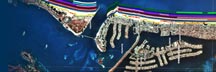
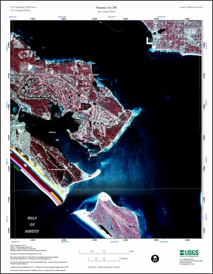
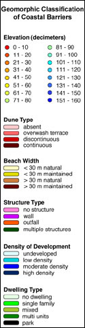
Panama City SW Coastal Classification MapMap showing the coastal classifications along the northwestern panhandle of Florida shoreline. The top item in the legend refers to the most landward data line. The last item in the legend refers to the most seaward data line. Click on the links below to download and view larger versions of the map. At the bottom of the page is a clickable index map that will take you to the other maps. |