U.S. Geological Survey
Open-file Report 2005-1170
Nearshore Benthic Habitat GIS for the Channel Islands National Marine Sanctuary and Southern California State Fisheries Reserves Volume II |
|||||||||||
|
GIS Description Regional Data Mapped areas |
REGIONAL GIS DATA LAYERSGIS data files that cover the entire northern Channel Islands area are described here. Detailed data sets for each study area are described in the next section. Regional basemap data layers include coastline, bathymetry, sample data, sanctuary boundaries, California State Jurisdiction, and existing and proposed Marine Protected Area boundaries. Bathymetry
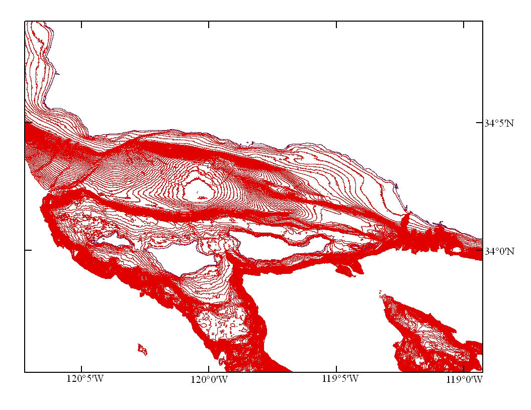
Bathymetry is provided as vector contours with a 10-m depth spacing. Contours with depths greater than 600 m were omitted from the file to reduce file size. Navigation
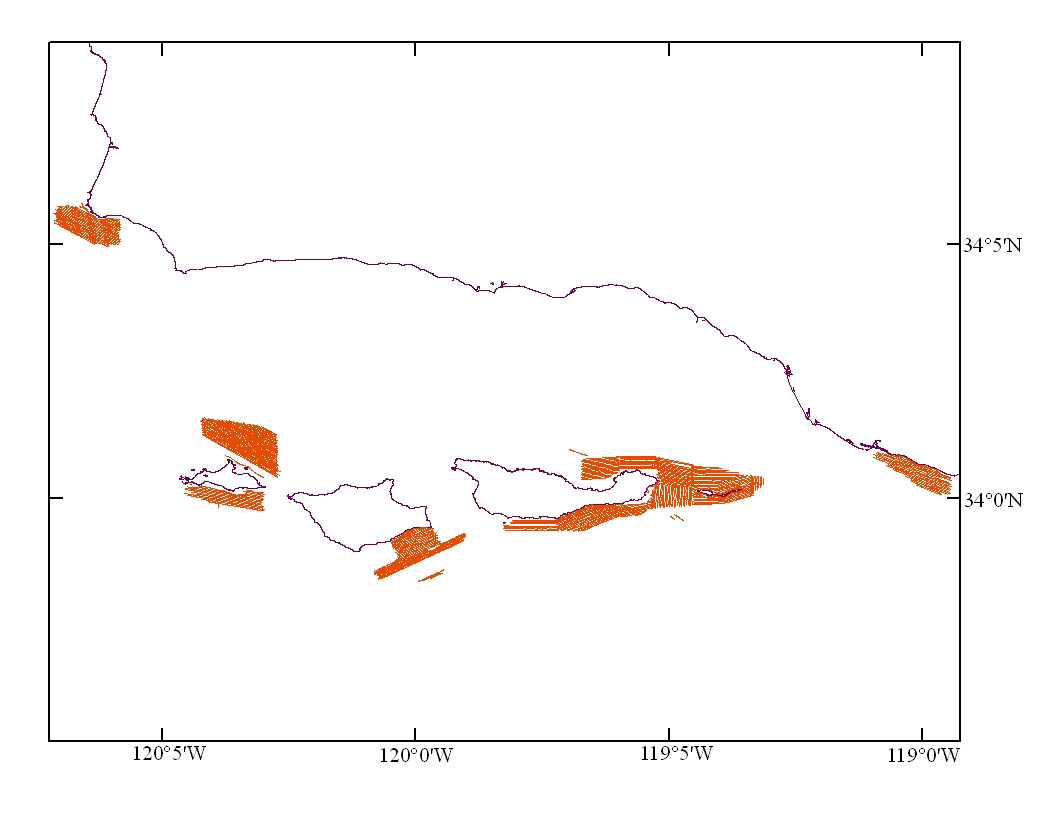
Location data in the form of navigation tracklines, composed from one-minute time fixes are provided for the cruises on which sidescan data were collected during this project. Sidescan data presented in this volume were collected on cruises S-5-04-SC (USGS, 2004), and M-1-00-SC (USGS, 2000). Seafloor Sampling
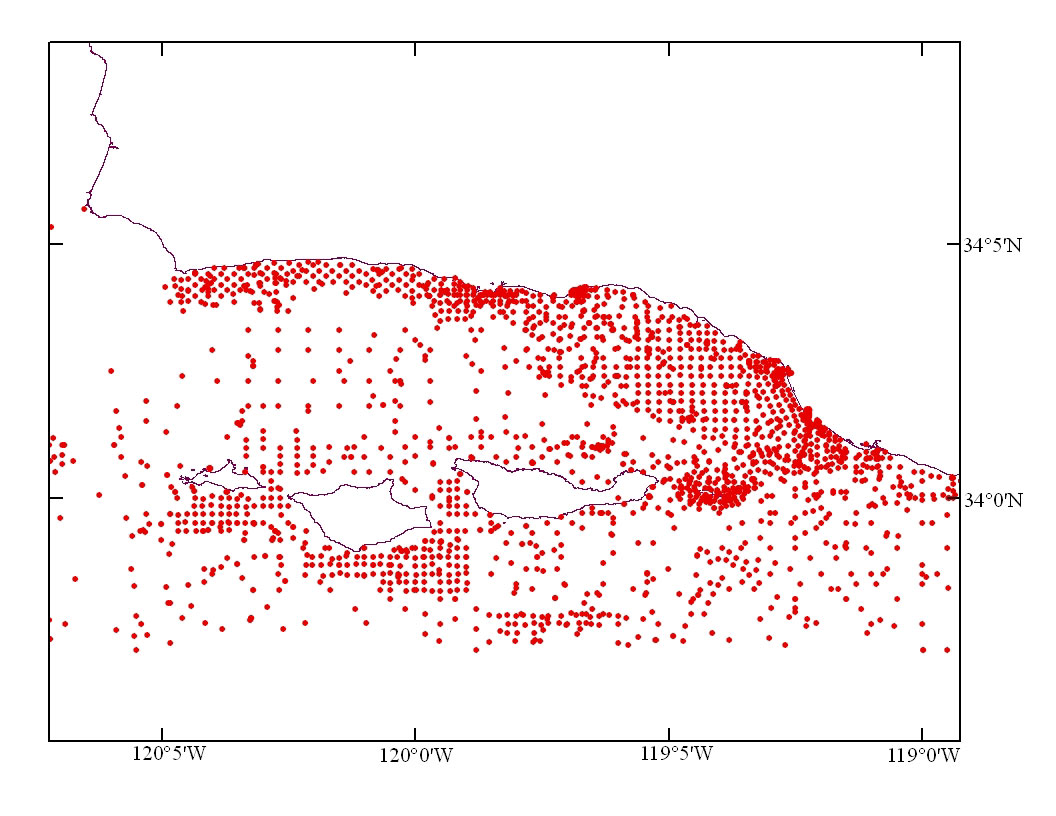
The point data of seafloor textural information provided in this GIS are from usSEABED, a USGS-led digital compilation of quantitative seabed attributes for the United States Exclusive Economic Zone (EEZ). The usSEABED database is built on information mined from pre-existing data that include lab analyses, shipboard log descriptions, photo descriptions, and other sources of seabed data, and contains about 200,000 samples within the U.S. EEZ. The data file contains 2,343 data points that represent only the most surficial layer (top < 0.03 meters) in the Channel Islands and Santa Barbara Channel areas. Data fields include sampling information, textural information, statistical parameters, Folk classification, dominant compositional type, and geochemical and geophysical parameters. The fields within the data file contain three categories of similar numeric data which may vary both by sample and by field; the differences are in the methods of determination and their underlying reliabilities. The most reliable method gives data that are based on direct measurements of seabed characteristics from lab analyses or probe measurements (coded as "extracted" or "E"). Second in reliability are those values derived from word-based descriptions passed through "fuzzy-set theory" filters (Jenkins, 1997), coded as "parsed" or "P". The least reliable data are those values calculated using variables in the two previous categories and estimated constant values in known models or through empirical relationships, coded as "calculated" or "C". Please see Figure 1 for a graphical view of this process. Users of the data should note the type of information in each field as noted in the "DataTypes" field. The code within this field links the position of the letter in the field to the number of fields to the right of the field; i.e., the first letter in the '"DataTypes" field denotes the category for the first field to the right (gravel), while the sixth letter denotes the category for the sixth field to the right (sorting). The parsed data ("P") are often rich in information not usually noted in lab analyses. These data allow for a dominant compositional/feature type for many samples in the "Seafloor Class"/"Class Membership" fields, and information about areas of hard-bottom ("Rock Membership") and seaweed ("Weed Membership"). This dataset is a work in progress and represents the data within usSEABED in the area as of February 2005 |
||||||||||
|
|||||||||||
http://pubs.usgs.gov/of/2005/1170/gis.html
maintained by Michael Diggles
last modified 3 January 2006 (ng)
USGS Privacy Statement
| Disclaimer
| Feedback
| Accessibility
Department of the Interior U.S. Geological Survey Geologic Division Coastal & Marine Geology Program