USGS Open-File Report 2005-1231
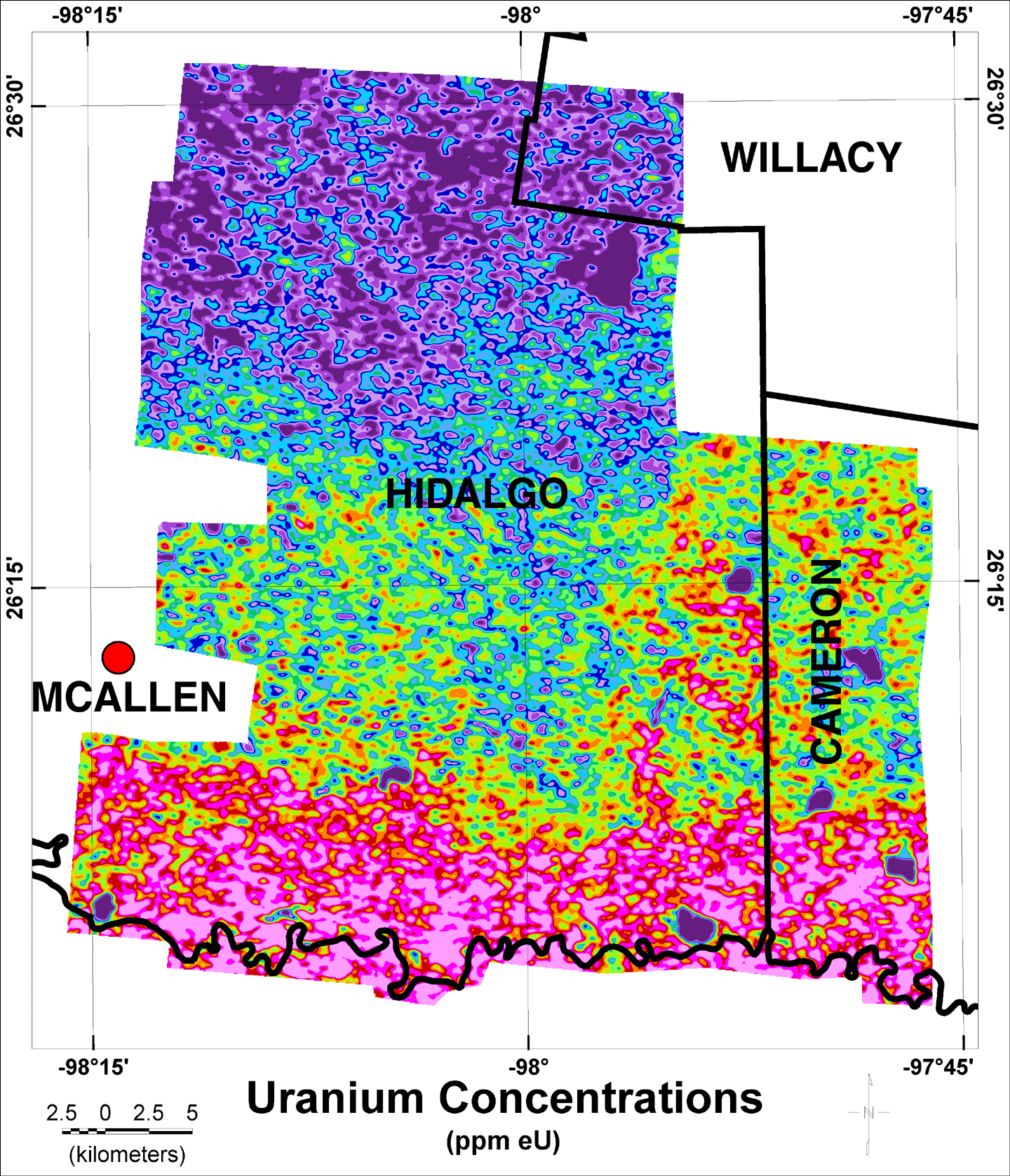
The image below shows the map of uranium concentrations from the aerial gamma-ray survey. Click here to open a new window showing the color legend for the map. You can also click inside the image to show a popup with the color scale.

![]() U.S. Department of the Interior |
U.S. Geological Survey
U.S. Department of the Interior |
U.S. Geological Survey
URL: http://pubsdata.usgs.gov/pubs/of/2005/1231/Umap.htm
Page Contact Information: Stephen Snyder
Page Last Modified: Saturday, 12-Jan-2013 21:28:34 EST