|
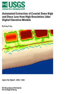
An automated method of extracting dune high (Dhi) and dune low (Dlo) from lidar DEMs has been developed for use on the sandy Southeast and Gulf coasts of the United States. The method has been written into an Arc AML script that runs from a command line in ArcInfo Workstation, a popular GIS software product. The output are GIS ready Dhi and Dlo point shapefiles that include several attributes that can assist in post-processing editing as well as elevation. This report, USGS Open File Report 2005-1344, explains the auto_dhidlo.aml script, contains the script itself, and serves as its users' guide.
NOTE: You will need to have the free
Adobe Acrobat® Reader (v.3.0 or higher) installed on your computer to view and print this publication.
Print version: ofr-2005-1344_print.pdf (2.2 MB PDF)
Screen version: ofr-2005-1344_screen.pdf (235 KB PDF)
Plain Text version (open this file in any text editing program): ofr-2005-1344.txt (24 KB TXT)
auto_dhildo.aml script: ofr-2005-1344_amls.zip (15.2 KB ZIP)

|