Coastal and Marine Geology
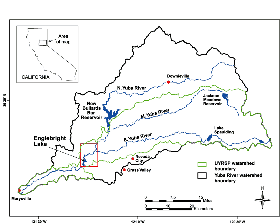
Upper Yuba River Watershed Studies Program (UYRSP) area. Small rectangle (in red) around Englebright Lake shows the geographic limits of the maps in this report.
|

![]() U.S. Department of the Interior | U.S. Geological Survey
U.S. Department of the Interior | U.S. Geological Survey
URL: http://pubs.usgs.gov/of/2006/1346/figure1.html
Page Contact: Jon Childs
Page Maintained By: Michael Diggles
Page Last Modified: 2 November 2006 (jrc)