Open-File Report 2006-1373
High-resolution boomer seismic-reflection profiles of the shelf off southern California from cruise A-1-00-SC: Santa Monica Bay to San DiegoMap SearchTo view the interactive map, follow these steps:
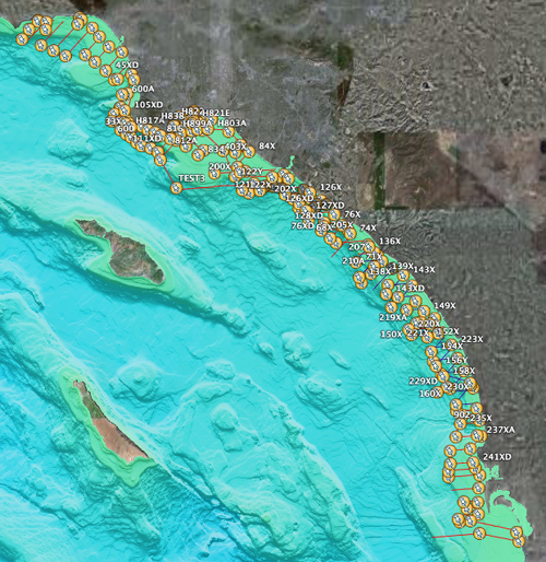
For a static trackline map of the coverage area, showing all the trackline designations, download this PDF (800 Kb). For more information contact: Ray Sliter |

![]() U.S. Department of the Interior |
U.S. Geological Survey
U.S. Department of the Interior |
U.S. Geological Survey
URL: http://pubs.usgs.gov/of/2006/1373/map_search.html
Page Contact Information: Michael Diggles
Page Last Modified: 19 December 2006 (mfd)
