Open-File Report 2008–1061
Abstract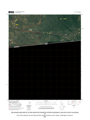
In the fall of 2007, wildfires burned out of control in southern California. The extent of these fires encompassed large geographic areas that included a variety of landscapes from urban to wilderness. The U.S. Geological Survey National Geospatial Technical Operations Center (NGTOC) is currently (2008) developing a quadrangle-based 1:24,000-scale image map product. One of the concepts behind the image map product is to provide an updated map in electronic format to assist with emergency response. This image map is one of 55 preliminary image map quadrangles covering the areas burned by the southern California wildfires. Each map is a layered, geo-registered Portable Document Format (.pdf) file. For more information about the layered geo-registered .pdf, see the readme file. To view the areas affected and the quadrangles mapped in this preliminary project, see the map index provided with this report. The fifty-five Open-File Report 2007 Wildfire perimeter maps of southern California produced by NGTOC-Denver are available through the USGS Store. From this link, you can search on "2007 fire" or "fire perimeter" and if desired a Print-on-Demand quadrangle(s) can be ordered. |
First posted May 1, 2008
Contains the layered geo-registered .pdf and readme files.
From this link, you can search on "2007 fire" or "fire perimeter" and if desired a Print-on-Demand quadrangle(s) can be ordered.
Part or all of this report is presented in Portable Document Format (PDF); the latest version of Adobe Reader or similar software is required to view it. Download the latest version of Adobe Reader, free of charge. |
Clark, P.S., Scratch, W. S., Bias, G. W., Stander, G.B., Sexton, J. L., and Krawczak, B. J., 2008, Preliminary image map of the 2007 Harris Fire perimeter, Potrero Quadrangle, San Diego County, California: U. S. Geological Survey Open-File Report 2008–1061, 1 sheet, scale 1:24,000.

![]() U.S. Department of the Interior | U.S. Geological Survey
U.S. Department of the Interior | U.S. Geological Survey
URL: http://pubsdata.usgs.gov/pubs/of/2008/1061/index.html
Questions or Assistance: Contact USGS
Last modified: Wednesday, 07-Dec-2016 21:13:47 EST
