Geographic Analysis and Monitoring Program
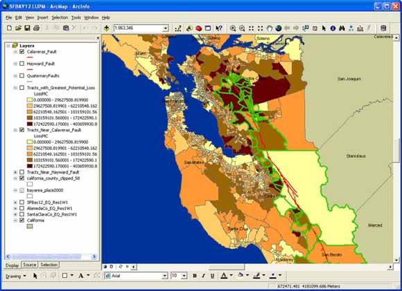
ArcGIS Land-use Portfolio Modeler (LUPM) Extension (from figure 1).
Decision making for natural-hazards mitigation can be sketched as knowledge available in advance (a priori), knowledge available later (a posteriori), and how consequences of the mitigation decision might be viewed once future outcomes are known. Two outcomes—mitigating for a hazard event that will occur, and not mitigating for a hazard event that will not occur—can be considered narrowly correct. Two alternative outcomes—mitigating for a hazard event that will not occur, and not mitigating for a hazard event that will occur—can be considered narrowly incorrect. The dilemma facing the decision maker is that mitigation choices must be made before the event, and often must be made with imperfect statistical techniques and imperfect data.
Download text of this report as a 28-page PDF file (of2008-1310.pdf; 358 kB)
For questions about the content of this report, contact Rick Champion.
Suggested citation and version history
Download a free copy of the latest version of Adobe Reader.
|
Help |
PDF help |
Publications main page |
| Western Open-File Reports for 2008 |
| Geography | Geographic Analysis and Monitoring Program
|

![]() U.S. Department of the Interior | U.S. Geological Survey
U.S. Department of the Interior | U.S. Geological Survey
URL: https://pubs.usgs.gov/of/2008/1310/
Page Contact Information: Michael Diggles
Page Created: September 30, 2008
Page Last Modified: October 2, 2008