U.S. Geological Survey Open-File Report 2009-1031
Vibracore, Radiocarbon, Microfossil, and Grain-Size Data from Apalachicola Bay, Florida
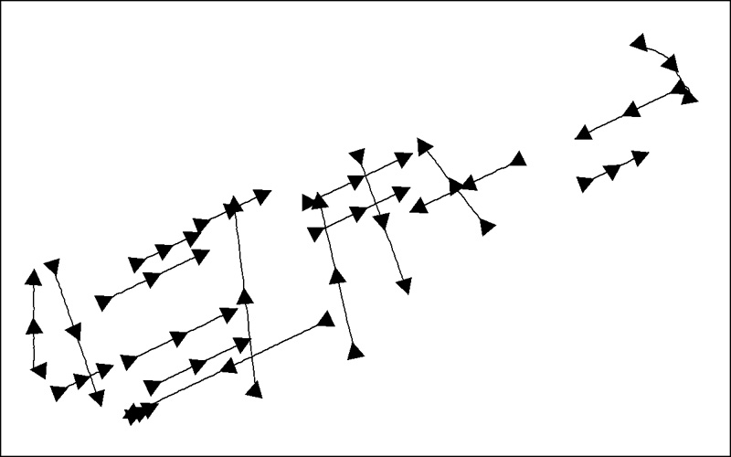 |
| Seismic_Cores_INT.shp: Seismic tracklines collected in 2005 and 2006 (Twichell and others, 2007) that are adjacent to vibracore locations within Apalachicola Bay, FL as stored within ArcMap™ 9.2 map document. |

![]() U.S. Department of the Interior |
U.S. Geological Survey
U.S. Department of the Interior |
U.S. Geological Survey
URL: https://pubsdata.usgs.gov/pubs/of/2009/1031/html/imagepages/seistracks.html
Page Contact Information: Contact USGS
Page Last Modified: Wednesday, 07-Dec-2016 22:15:25 EST
