U.S. Geological Survey Open-File Report 2010-1146
Coastal Vulnerability Assessment of the Northern Gulf of Mexico to Sea-Level Rise and Coastal Change
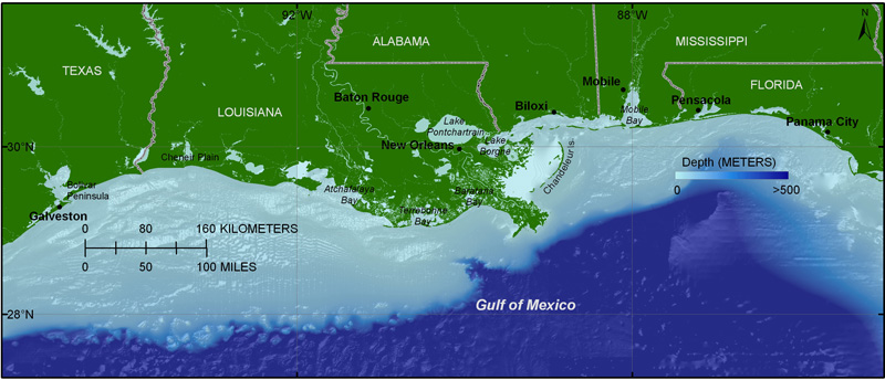
Figure 2. The Northern Gulf of Mexico study area, stretching from Galveston, TX, to just beyond Panama City, FL.
To view files in PDF format, download a free copy of Adobe Reader.

![]() U.S. Department of the Interior |
U.S. Geological Survey
U.S. Department of the Interior |
U.S. Geological Survey
URL: https://pubsdata.usgs.gov/pubs/of/2010/1146/html/imagepages/Figure2.html
Page Contact Information: Contact USGS
Page Last Modified: Wednesday, 07-Dec-2016 22:36:52 EST
