 Abstract Abstract
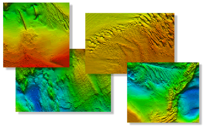
Detailed bathymetric maps of the sea floor in Long Island Sound are of great interest to the Connecticut and New York research and management communities because of this estuary's ecological, recreational, and commercial importance. The completed, geologically interpreted digital terrain models (DTMs), ranging in area from 12 to 293 square kilometers, provide important benthic environmental information, yet many applications require a geographically broader perspective. For example, individual surveys are of limited use for the planning and construction of cross-sound infrastructure, such as cables and pipelines, or for the testing of regional circulation models. To address this need, we integrated 12 multibeam and 2 LIDAR (Light Detection and Ranging) contiguous bathymetric DTMs, produced by the National Oceanic and Atmospheric Administration during charting operations, into one dataset that covers much of eastern Long Island Sound and extends into westernmost Block Island Sound. The new dataset is adjusted to mean lower low water, is gridded to 4-meter resolution, and is provided in UTM Zone 18 NAD83 and geographic WGS84 projections. This resolution is adequate for sea floor-feature and process interpretation but is small enough to be queried and manipulated with standard Geographic Information System programs and to allow for future growth. Natural features visible in the grid include exposed bedrock outcrops, boulder lag deposits of submerged moraines, sand-wave fields, and scour depressions that reflect the strength of the oscillating and asymmetric tidal currents. Bedform asymmetry allows interpretations of net sediment transport. Anthropogenic artifacts visible in the bathymetric data include a dredged channel, shipwrecks, dredge spoils, mooring anchors, prop-scour depressions, buried cables, and bridge footings. Together the merged data reveal a larger, more continuous perspective of bathymetric topography than previously available, providing a fundamental framework for research and resource management activities in this major east-coast estuary.
|
First posted July 12, 2011
| 
