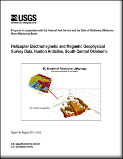
Open-File Report 2011–1240
|
First posted November 23, 2011
For additional information contact: Part or all of this report is presented in Portable Document Format (PDF); the latest version of Adobe Reader or similar software is required to view it. Download the latest version of Adobe Reader, free of charge. |
Smith, B.D., Smith, D.V., Deszcz-Pan, Maryla, Blome, C.D., and Hill, Patricia, 2011, Helicopter electromagnetic and magnetic geophysical survey data, Hunton anticline, south-central Oklahoma : U.S. Geological Survey Open-File Report 2011–1240, 15 p.
Abstract
Introduction
Helicopter Electromagnetic and Magnetic Surveys
Digital Data
Acknowledgments
References
Appendix 1: Fugro Geophysical Report
Appendix 2: Multiplots of Areas B and D
Appendix 3: 2007 Geological Society of America Annual Meeting Poster
Appendix 4: 2008 American Geophysical Union Fall Annual Meeting Poster

![]() U.S. Department of the Interior |
U.S. Geological Survey
U.S. Department of the Interior |
U.S. Geological Survey
URL: http://pubsdata.usgs.gov/pubs/of/2011/1240/index.html
Page Contact Information: GS Pubs Web Contact
Page Last Modified: Thursday, 08-Dec-2016 00:03:42 EST