Skip Links

USGS - science for a changing world

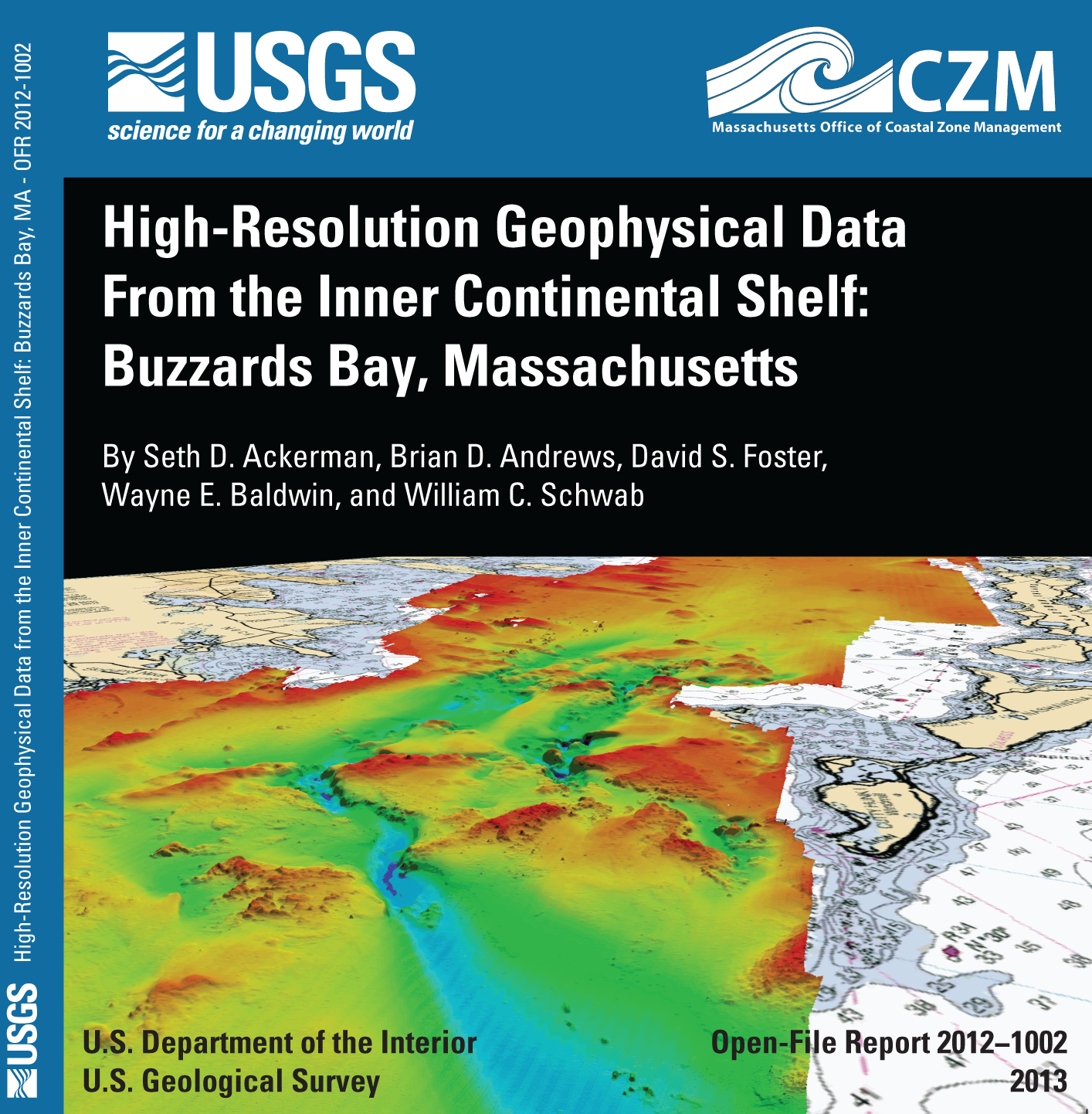
Open-File Report 2012–1002

Prepared in cooperation with the Massachusetts Office of Coastal Zone Management

High-Resolution Geophysical Data from the Inner Continental Shelf: Buzzards Bay, Massachusetts

By Seth D. Ackerman, Brian D. Andrews, David S. Foster, Wayne E. Baldwin and William C. Schwab

an illustration showing the DVD cover artwork for Open-File Report 2009-1072. It includes a three dimensional view of the bottom topography of the study area. Abstract

The U.S. Geological Survey (USGS) and the Massachusetts Office of Coastal Zone Management (CZM) have cooperated to map approximately 410 square kilometers (km²) of the inner continental shelf in Buzzards Bay, Massachusetts. This report contains geophysical data collected by the USGS on three cruises conducted in 2009, 2010, and 2011, and additional bathymetry data collected by the National Oceanic and Atmospheric Administration in 2004. The geophysical data include (1) swath bathymetry using interferometric sonar and multibeam echosounder systems, (2) acoustic backscatter from sidescan sonar, and (3) seismic-reflection profiles from a chirp subbottom profiler. These spatial data support research on the Quaternary evolution of Buzzards Bay, the influence of sea-level change and sediment supply on coastal evolution, and efforts to understand the type, distribution, and quality of subtidal marine habitats in the coastal ocean of Massachusetts.

First posted May 1, 2013

For additional information contact:
Director
U.S. Geological Survey
Woods Hole Coastal and Marine Science Center
384 Woods Hole Road
Quissett Campus
Woods Hole, MA 02543
(508) 548–8700

Part or all of this report is presented in Portable Document Format (PDF); the latest version of Adobe Reader or similar software is required to view it. Download the latest version of Adobe Reader, free of charge.


Suggested citation:

Ackerman, S.D., Andrews, B.D., Foster, D.S., Baldwin, W.E., and Schwab W.C. 2012, High-resolution geophysical data from the inner continental shelf—Buzzards Bay, Massachusetts: U.S. Geological Survey Open-File Report 2012-1002, http://pubs.usgs.gov/of/2012/1002/.


Contents

Abstract

Introduction

Data Collection and Processing

Acknowledgments

References Cited

Appendix 1


Accessibility FOIA Privacy Policies and Notices

Take Pride in America logo USA.gov logo U.S. Department of the Interior | U.S. Geological Survey
URL: http://pubsdata.usgs.gov/pubs/of/2012/1002/index.html
Page Contact Information: GS Pubs Web Contact
Page Last Modified: Thursday, 02-May-2013 10:56:02 EDT