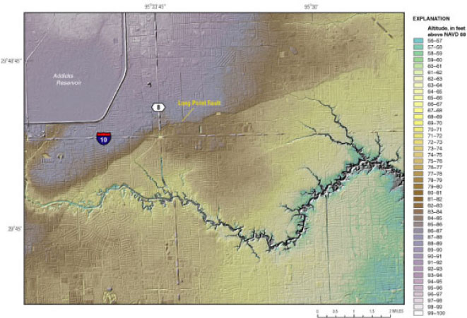
Figure 3. Segment of the hillshaded 15-foot bare-earth Lidar-derived digital elevation model of the area of Harris County showing the Long Point fault.
Back to Contents | Back to Text