
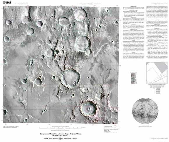
| This map is part of a series of topographic maps of areas of special scientific interest on Mars. The topography was compiled photogrammetrically using Viking Orbiter stereo image pairs. The contour interval is 250 m. Horizontal and vertical control was established using the USGS Mars Digital Image Model 2.0 (MDIM 2.0) and data from the Mars Orbiter Laser Altimeter (MOLA). |
Download this map as a PDF document (~38 x 31 inches; 2.3 MB)
For questions about the content of this report, contact Mark Rosiek
Download a current version of Adobe Reader for free
| Help
| PDF help
| Publications main page | Other
Planetary Maps |
| Privacy
Statement | Disclaimer
| Accessibility |
| Geologic Division |
Astrogeology Research Program |
This report is available only on the Web