U.S. Geological Survey Scientific Investigations Map 2929
Introduction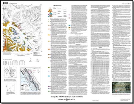
INTRODUCTION This map presents the results of U.S. Geological Survey (USGS) geologic bedrock mapping studies in the mostly glacier covered Atlin 1:250,000-scale quadrangle, northern southeastern Alaska. These studies are part of a long-term systematic effort by the USGS to provide bedrock geologic and mineral-resource information for all of southeastern Alaska, covering all of the Tongass National Forest (including Wilderness Areas) and Glacier Bay National Park and Preserve. Some contributions to this effort are those concerned with southwesternmost part of the region, the Craig and Dixon Entrance quadrangles (Brew, 1994; 1996) and with the Wrangell-Petersburg area (Brew, 1997a-m; Brew and Grybeck, 1997; Brew and Koch, 1997). As shown on the index map (fig. 1), the study area is almost entirely in the northern Coast Mountains adjacent to British Columbia, Canada. No previous geologic map has been published for the area, although Brew and Ford (1985) included a small part of it in a preliminary compilation of the adjoining Juneau quadrangle; and Brew and others (1991a) showed the geology at 1:500,000 scale. Areas mapped nearby in British Columbia and the United States are also shown on figure 1. All of the map area is in the Coast Mountains Complex as defined by Brew and others (1995a). A comprehensive bibliography is available for this and adjacent areas (Brew, 1997n) |
First posted April 23, 2009
This report is also available in print from:
USGS Information Services, Box 25286, For additional information contact: This report is presented in Portable Document Format (PDF); at least version 7 of Adobe Reader or similar software is required to view it. Download the latest version of Adobe Reader, free of charge. |
Brew, D.A., Himmelberg, G.R., and Ford, A.B., 2009, Geologic map of the Atlin quadrangle, southeastern Alaska: U.S. Geological Survey Scientific Investigations Map 2929, 1 sheet, scale 1:125,000, 1 sheet. [https://pubs.usgs.gov/sim/2929/].

![]() U.S. Department of the Interior |
U.S. Geological Survey
U.S. Department of the Interior |
U.S. Geological Survey
URL: https://pubsdata.usgs.gov/pubs/sim/2929/
Page Contact Information: Contact USGS
Page Last Modified: Thursday, December 01 2016, 05:14:19 PM (mfd)
