Scientific Investigations Map 3051
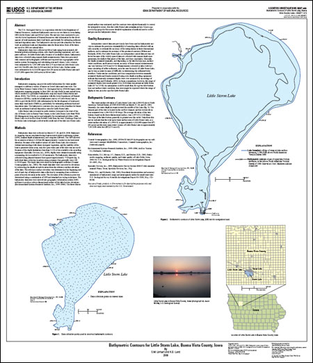
AbstractThe U.S. Geological Survey, in cooperation with the Iowa Department of Natural Resources, conducted bathymetric surveys on two lakes in Iowa during 2006 (Little Storm Lake and Silver Lake). The surveys were conducted to provide the Iowa Department of Natural Resources with information for the development of total maximum daily load limits, particularly for estimating sediment load and deposition rates. The bathymetric surveys can provide a baseline for future work on sediment loads and deposition rates for these lakes. Both of the lakes surveyed in 2006 are natural lakes. For Silver Lake, bathymetric data were collected using boat-mounted, differential global positioning system, echo depth-sounding equipment, and computer software. For Little Storm Lake, because of its shallow nature, bathymetric data were collected using manual depth measurements. Data were processed with commercial hydrographic software and exported into a geographic information system for mapping and calculating area and volume. Lake volumes were estimated to be 7,547,000 cubic feet (173 acre-feet) at Little Storm Lake and 126,724,000 cubic feet (2,910 acre-feet) at Silver Lake. Surface areas were estimated to be 4,110,000 square feet (94 acres) at Little Storm Lake and 27,957,000 square feet (640 acres) at Silver Lake. |
Version 1.0 Posted November 2008 For additional information contact: Part or all of this report is presented in Portable Document Format (PDF); the latest version of Adobe Reader or similar software is required to view it. Download the latest version of Adobe Reader, free of charge. |
Linhart, S.M., and Lund, K.D., 2008, Bathymetric contour maps for lakes surveyed in Iowa in 2006: U.S. Geological Survey Scientific Investigations Map 3051, 2 sheets.

![]() U.S. Department of the Interior | U.S. Geological Survey
U.S. Department of the Interior | U.S. Geological Survey
URL: http://pubsdata.usgs.gov/pubs/sim/3051/index.html
Questions or Assistance: Contact USGS
Last modified: Thursday, 01-Dec-2016 17:12:29 EST
