U.S. Geological Survey Scientific Investigations Map 3122
ABSTRACT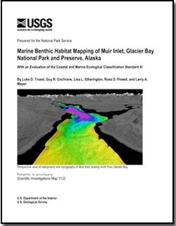
Seafloor geology and potential benthic habitats were mapped in Muir Inlet, Glacier Bay National Park and Preserve, Alaska, using multibeam sonar, ground-truth information, and geological interpretations. Muir Inlet is a recently deglaciated fjord that is under the influence of glacial and paraglacial marine processes. High glacially derived sediment and meltwater fluxes, slope instabilities, and variable bathymetry result in a highly dynamic estuarine environment and benthic ecosystem. We characterize the fjord seafloor and potential benthic habitats using the Coastal and Marine Ecological Classification Standard (CMECS) recently developed by the National Oceanic and Atmospheric Administration (NOAA) and NatureServe. Substrates within Muir Inlet are dominated by mud, derived from the high glacial debris flux. Water-column characteristics are derived from a combination of conductivity temperature depth (CTD) measurements and circulation-model results. We also present modern glaciomarine sediment accumulation data from quantitative differential bathymetry. These data show Muir Inlet is divided into two contrasting environments: a dynamic upper fjord and a relatively static lower fjord. The accompanying maps represent the first publicly available high-resolution bathymetric surveys of Muir Inlet. The results of these analyses serve as a test of the CMECS and as a baseline for continued mapping and correlations among seafloor substrate, benthic habitats, and glaciomarine processes. |
Files for viewing and plotting
GIS files
For additional information: Part of this report is presented in Portable Document Format (PDF); the latest version of Adobe Reader or similar software is required to view it. Download the latest version of Adobe Reader, free of charge. |
Trusel, Luke D., Cochrane, Guy R., Etherington, Lisa L. Powell, Ross D., and Mayer, Larry A., 2010, Marine benthic habitat mapping of Muir Inlet, Glacier Bay National Park and Preserve, Alaska, with an evaluation of the Coastal and Marine Ecological Classification Standard III: U.S. Geological Survey Scientific Investigations Map 3122, 4 sheets, various scales, 1 pamphlet, 26 p.

![]() U.S. Department of the Interior |
U.S. Geological Survey
U.S. Department of the Interior |
U.S. Geological Survey
URL: http://
pubsdata.usgs.gov
/pubs/sim/3122/index.html
Page Contact Information: USGS Publications Team
Page Last Modified: Thursday, 01-Dec-2016 17:19:30 EST
