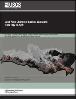
Scientific Investigations Map 3164
AbstractCoastal Louisiana wetlands make up the seventh largest delta on Earth, contain about 37 percent of the estuarine herbaceous marshes in the conterminous United States, and support the largest commercial fishery in the lower 48 States. These wetlands are in peril because Louisiana currently undergoes about 90 percent of the total coastal wetland loss in the continental United States. Documenting and understanding the occurrence and rates of wetland loss are necessary for effective planning, protection, and restoration activities. The analyses of landscape change presented in this report use historical surveys, aerial data, and satellite data to track landscape changes. Summary data are presented for 1932–2010; trend data are presented for 1985–2010. These later data were calculated separately because of concerns over the comparability of the 1932 and 1956 datasets (which are based on survey and aerial data, respectively) with the later datasets (which are all based on satellite imagery). These analyses show that coastal Louisiana has undergone a net change in land area of about -1,883 square miles (mi2) from 1932 to 2010. This net change in land area amounts to a decrease of about 25 percent of the 1932 land area. Persistent losses account for 95 percent of this land area decrease; the remainder are areas that have converted to water but have not yet exhibited the persistence necessary to be classified as "loss." Trend analyses from 1985 to 2010 show a wetland loss rate of 16.57 mi2 per year. If this loss were to occur at a constant rate, it would equate to Louisiana losing an area the size of one football field per hour. The use of 17 datasets plus the application of consistent change criteria in this study provide opportunities to better understand the timing and causal mechanisms of wetland loss that are critical for forecasting landscape changes in the future. |
First posted June 1, 2011
For additional information contact: Part or all of this report is presented in Portable Document Format (PDF); the latest version of Adobe Reader or similar software is required to view it. Download the latest version of Adobe Reader, free of charge. |
Couvillion, B.R., Barras, J.A., Steyer, G.D., Sleavin, William, Fischer, Michelle, Beck, Holly, Trahan, Nadine, Griffin, Brad, and Heckman, David, 2011, Land area change in coastal Louisiana from 1932 to 2010: U.S. Geological Survey Scientific Investigations Map 3164, scale 1:265,000, 12 p. pamphlet.
Abstract
Introduction
Methodology
Land Area Changes
Land Change Trends
Discussion and Conclusions
References

![]() U.S. Department of the Interior |
U.S. Geological Survey
U.S. Department of the Interior |
U.S. Geological Survey
URL: http://pubsdata.usgs.gov/pubs/sim/3164/index.html
Page Contact Information: GS Pubs Web Contact
Page Last Modified: Thursday, 01-Dec-2016 17:22:57 EST
