 Abstract Abstract
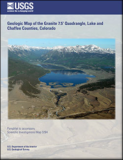
The geologic map of the Granite 7.5' quadrangle, Lake and Chaffee Counties, Colorado, portrays the geology in the upper Arkansas valley and along the lower flanks of the Sawatch Range and Mosquito Range near the town of Granite. The oldest rocks, exposed in the southern and eastern parts of the quadrangle, include gneiss and plutonic rocks of Paleoproterozoic age. These rocks are intruded by younger plutonic rocks of Mesoproterozoic age. Felsic hypabyssal dikes, plugs, and plutons, ranging in age from Late Cretaceous or Paleocene to late Oligocene, locally intruded Proterozoic rocks. A small andesite lava flow of upper Oligocene age overlies Paleoproterozoic rock, just south of the Twin Lakes Reservoir. Gravelly fluvial and fan deposits of the Miocene and lower Pliocene(?) Dry Union Formation are preserved in the post-30 Ma upper Arkansas valley graben, a northern extension of the Rio Grande rift. Mostly north-northwest-trending faults displace deposits of the Dry Union Formation and older rock units. Light detection and ranging (lidar) imagery suggests that two short faults, near the Arkansas River, may displace surficial deposits as young as middle Pleistocene.
Surficial deposits of middle Pleistocene to Holocene
age are widespread in the Granite quadrangle, particularly in the major valleys and on slopes underlain by the Dry Union Formation. The main deposits are glacial outwash and post-glacial alluvium; mass-movement deposits transported by creep, debris flow, landsliding, and rockfall; till deposited during the Pinedale, Bull Lake, and pre-Bull Lake glaciations; rock-glacier deposits; and placer-tailings deposits formed by hydraulic mining and other mining methods used to concentrate native gold.
Hydrologic and geologic processes locally affect use of the land and locally may be of concern regarding the stability of buildings and infrastructure, chiefly in low-lying areas along and near stream channels and locally in areas of
moderate to steep slopes. Low-lying areas along major and minor streams are subject to periodic stream flooding. Mass-movement deposits and deposits of the Dry Union Formation that underlie moderate to steep slopes are locally subject to creep, debris-flow deposition, and landsliding. Proterozoic rocks that underlie steep slopes are locally subject to rockfall.
Sand and gravel resources for construction and other uses in and near the Granite quadrangle are present in outwash-terrace deposits of middle and late Pleistocene age along the Arkansas River and along tributary streams in glaciated valleys.
|
First posted June 24, 2014
Part or all of this report is presented in Portable Document Format (PDF). For best results viewing and printing PDF documents, it is recommended that you download the documents to your computer and open them with Adobe Reader. Download the latest version of Adobe Reader, free of charge. More information about viewing, downloading, and printing report files can be found here.
|

