 Abstract Abstract
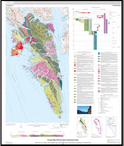
This map updates the geology of Baranof Island based on fieldwork, petrographic analyses, paleontologic ages, and isotopic ages. These new data provide constraints on depositional and metamorphic ages of lithostratigraphic rock units and the timing of structures that separate them. Kinematic analyses and thermobarometric calculations provide insights on the regional tectonic processes that affected the rocks on Baranof Island. The rocks on Baranof Island are components of a Paleozoic to Early Tertiary oceanic volcanic arc complex, including sedimentary and volcanic rocks that were deposited on and adjacent to the arc complex, deformed, and accreted. The arc complex consists of greenschist to amphibolite facies Paleozoic metavolcanic and metasedimentary rocks overlain by lower-grade Triassic metasedimentary and metavolcanic rocks and intruded by Jurassic calc-alkaline plutons. The Paleozoic rocks correlate well in age and lithology with rocks of the Sicker and Buttle Lake Groups of the Wrangellia terrane on Vancouver Island and differ from rocks of the Skolai Group that constitute basement to type-Wrangellia in the Wrangell Mountains. The Jurassic intrusive rocks are correlative with plutons that intrude the Wrangellia terrane on Vancouver Island but are lacking in the Wrangell Mountains. The rocks accreted beneath the arc complex are referred to as the Baranof Accretionary Complex in this report and are correlated with the Chugach Accretionary Complex of southern and southeastern Alaska and with the Pacific Rim Complex on Vancouver Island. Stratigraphic correlations between upper- and lower-plate rocks on Baranof Island and western Chichagof Island with rocks on Haida Gwaii and Vancouver Island, in addition to correlative ages of intrusive rocks and restorations of the Fairweather-Queen Charlotte, Chatham Strait, and Peril Strait Faults that define the Baranof-Chichagof block, suggest Baranof Island was near Vancouver Island at the time of initiation of arc magmatism in the Early Jurassic. Early Eocene plutons that intruded the accretionary complex outboard of the arc on Baranof Island are attributed to anatectic melting of trench sediments resulting from subduction of a spreading center. Oligocene intrusive rocks on Baranof Island correlate in age and composition with intrusive rocks in the Kano Plutonic Suite on Haida Gwaii, and similar magmatic sources are inferred.
|
First posted July 29, 2015
Part or all of this report is presented in Portable Document Format (PDF). For best results viewing and printing PDF documents, it is recommended that you download the documents to your computer and open them with Adobe Reader. PDF documents opened from your browser may not display or print as intended. Download the latest version of Adobe Reader, free of charge.
|

