Scientific Investigations Report 2006–5043
U.S. GEOLOGICAL SURVEY
Scientific Investigations Report 2006–5043
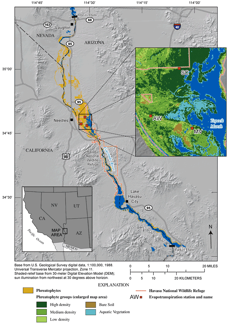
Figure 2. Lower Colorado River from Davis Dam to Parker Dam, Topock Marsh study area, and phreatophyte areas.
(Station names: SC, saltcedar; MV, mixed vegetation; AW, arrowweed.)
For more information about USGS activities in Nevada, visit the USGS Nevada Water Science Center home page .

![]() U.S. Department of the Interior |
U.S. Geological Survey
U.S. Department of the Interior |
U.S. Geological Survey
Persistent URL: https://pubs.water.usgs.gov/sir20065043
Page Contact Information: Publications Team
Page Last Modified: Thursday, 01-Dec-2016 18:55:39 EST
