SIR 2006-5208
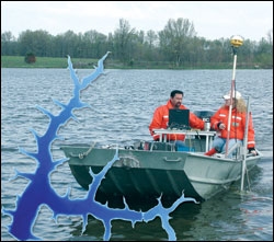 
Because of the increasing use and importance of lakes for water supply to communities, a repeatable and reliable procedure to determine lake bathymetry and capacity is needed. A method to determine the accuracy of the procedure will help ensure proper collection and use of the data and resulting products. It is important to clearly define the intended products and desired accuracy before conducting the bathymetric survey to ensure proper data collection. A survey-grade echo sounder and differential global positioning system receivers were used to collect water-depth and position data in December 2003 at Sugar Creek Lake near Moberly, Missouri. Data were collected along planned...>>MORE |
Version 1.0 Posted November 2006
|
Part or all of this report is presented in Portable Document Format (PDF); the latest version of Adobe Acrobat Reader or similar software is required to view it. Download the latest version of Acrobat Reader, free of charge or go to access.adobe.com for free tools that allow visually impaired users to read PDF files.
