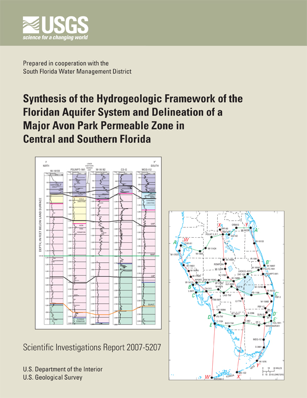
Scientific Investigations Report 2007-5207
Prepared in cooperation with
South Florida Water Management District
 |
Select an option:
|
|
Table of Contents Abstract Introduction Purpose and Scope Description of Study Area Previous Studies Methods of Evaluation Inventory of Well Data Development of an Approximate Time-Stratigraphic Framework Determination of Hydrogeologic Unit Boundaries Hydrogeologic Sections Stratigraphic and Hydrogeologic Maps Generation of Surfaces by Fitting Data to a Statistical Model Review and Revision of Surfaces and Generation of Thickness Maps Results of Surface Generation Geologic Framework Geologic Units and Lithology Time-Stratigraphic Framework Stratigraphic Sections Marker Horizon Structure Maps Hydrogeologic Framework Surficial Aquifer System Intermediate Confining Unit or Aquifer System Upper Floridan Aquifer Characteristics and Stratigraphic Position Boundaries, Thickness, and Confinement Water Use Middle Confining Unit Avon Park Permeable Zone Characteristics and Stratigraphic Position Boundaries, Thickness, Confinement, and Continuity Water Use Lower Floridan Aquifer Upper Permeable Zone Characteristics and Stratigraphic Position Thickness, Confinement, and Continuity Boulder Zone Summary and Conclusions References Cited |
|
Appendix Tables Explanation for Table A1 (54 KB; pdf file) Table A1 (176 KB; Excel file) Inventory of all wells Table A1 (679 KB; pdf file)
Explanation for Table A2 (51 KB; pdf file)
Table A2 References (30 KB; Excel file)
Appendix Figures
Plates |
The carbonate Floridan aquifer system of central and southern Florida (south of a latitude of about 29 degrees north) is an invaluable resource with a complex framework that has previously been mapped and managed primarily in a subregional context according to geopolitical boundaries. As interest and use of the Floridan aquifer system in this area increase, a consistent regional hydrogeologic framework is needed for effective management across these boundaries.
This study synthesizes previous studies on the Floridan aquifer system and introduces a new regional hydrogeologic conceptual framework, linking physical relations between central and southern Florida and between the west and east coastal areas. The differences in hydrogeologic nomenclature and interpretation across the study area from previous studies were identified and resolved. The Floridan aquifer system consists of the Upper Floridan aquifer, middle confining unit, and Lower Floridan aquifer. This study introduces and delineates a new major, regional productive zone or subaquifer, referred to as the Avon Park permeable zone. This zone is contained within the middle confining unit and synthesizes an extensive zone that has been referred to differently in different parts of the study area in previous studies. The name of this zone derives from the description of this zone as the Avon Park highly permeable zone in west-central Florida in a previous study. Additionally, this zone has been identified previously in southeastern Florida as the middle Floridan aquifer.
An approximately correlative or approximate time-stratigraphic framework was developed and was used to provide guidance in the identification and determination of aquifers, subaquifers, and confining units within the Floridan aquifer system and to determine their structural relations. Two stratigraphic marker horizons within the Floridan aquifer system and a marker unit near the top of the aquifer system were delineated or mapped. The marker horizons are correlative points in the stratigraphic section rather than a unit with upper and lower boundaries. The two marker horizons and the marker unit originated from previous studies, wherein they were based on lithology and correlation of geophysical log signatures observed in boreholes. The depths of these marker horizons and the marker unit were extended throughout the study area by correlation of natural gamma-ray logs between wells. The Floridan aquifer system includes, in ascending order, the upper part of the Cedar Keys Formation, Oldsmar Formation, Avon Park Formation, Ocala Limestone, Suwannee Limestone, and in some areas the lower part of the Hawthorn Group. The first marker horizon is in the lower part of the aquifer system near the top of the Oldsmar Formation and is associated with the top of distinctive glauconitic limestone beds that are present in some regions; the second marker horizon is near the middle of the aquifer system in the middle part of the Avon Park Formation. The marker unit lies at the top of a basal unit in the Hawthorn Group and provides a stratigraphic constraint for the top of the Floridan aquifer system. The marker horizons do not have distinguishing lithologic characteristics or a characteristic gamma-ray log pattern in all areas but are still thought to be valid because of correlation of the entire section and correlation of all sufficiently deep wells with gamma-ray logs.
The Avon Park permeable zone is contained entirely within the Avon Park Formation; its position within the section is either near the middle Avon Park marker horizon or within a thick part of the section that extends several hundred feet above the marker horizon. This subaquifer is present over most of the study area and characteristically consists of thick units of dolostone and interbedded limestone, and limestone in its upper part. Permeability is primarily associated with fracturing. This subaquifer is well developed in west-central Florida, parts of east-central Florida, and the northern part of southeastern Florida.
The Avon Park permeable zone has been identified in previous studies as the: (1) upper part of the Lower Floridan aquifer in the northern part of southeastern Florida and in a central peninsular area; or (2) lower part of the Upper Floridan aquifer in west-central Florida, the northern part of east-central Florida, and the southern part of southeastern Florida. This zone is interpreted to be the lower zone B of the Upper Floridan aquifer as defined in a previous study of east-central Florida, and the Upper Floridan aquifer of this study is equivalent to upper zone A of the Upper Floridan aquifer in the same previous study. The Upper Floridan aquifer as defined in this study in west-central Florida includes only the Suwannee Limestone, and in some areas the upper part of the Ocala Limestone.
Occurrence of permeable dolostone shallower in the section can greatly affect the upper boundary of the Avon Park permeable zone, and this occurrence appears to be highly localized in some areas causing large variations in the top of the zone from one to several hundred feet over relatively short distances (6 miles or less). Additionally, there can be considerable uncertainty regarding hydraulic connectivity in the Avon Park permeable zone between wells in some areas, where correlative stratigraphic relations suggest that the subaquifer is developed in different parts of the section with vertical offset of one to several hundred feet.
Transmissivity of the Avon Park permeable zone is generally an order of magnitude higher than transmissivity in the Upper Floridan aquifer, and ranges from less than 100,000 to more than 1 million square feet per day. A large area in southern Florida, where limestone is the predominant lithology in the zone, tends to coincide with an area where transmissivity is less than 100,000 square feet per day. Development of dolomite as a major component in the zone to the north of this area appears to be related to structure as indicated by the altitude of the middle Avon Park marker horizon.
The uppermost permeable zone of the Lower Floridan aquifer is contained within the lower part of the Avon Park Formation. This zone is defined as the shallowest major permeable zone that occurs below the middle Avon Park marker horizon. This deeper zone is similar to the Avon Park permeable zone and occurs primarily in fractured dolomite units. The Boulder Zone in the lower part of the Lower Floridan aquifer is a thick (as much as 700 feet), highly transmissive zone characterized by fractured to cavernous dolomite, and is used for the disposal of treated wastewater in southern Florida. The top of the Boulder Zone was found to generally occur at a similar stratigraphic position in the Oldsmar Formation, one to several hundred feet below the lower marker horizon that is associated with glauconitic limestone.
The hydraulic connectivity of the aquifers and permeable zones mapped in this study, particularly those below the Upper Floridan aquifer, remains uncertain in some areas. The degree of confinement provided by confining units mapped between these permeable zones in some areas is also uncertain. Additional data and studies are needed to confirm connectivity, including collection of hydraulic head, hydrogeochemical, and water temperature data and their three-dimensional mapping and interpretation.
Reese, R.S., and Richardson, Emily, 2008, Synthesis of the Hydrogeologic Framework of the Floridan Aquifer System and Delineation of a Major Avon Park Permeable Zone in Central and Southern Florida: U.S. Geological Survey Scientific Investigations Report 2007-5207, 60 p., 4 pls., plus apps.
U.S. Geological Survey
Florida Integrated Science Center
3110 SW 9th Avenue
Ft. Lauderdale, FL 33315
954-377-5900
| Accessibility FOIA Privacy Policies and Notices | U.S. Department of the Interior, U.S. Geological Survey
Persistent URL: https://pubs.usgs.gov/sir/2007/5207 Page Contact Information: USGS Publishing Network Page Last Modified: Thursday, 01-Dec-2016 20:02:19 EST |
 |