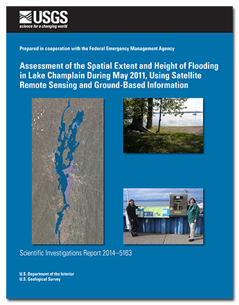
 Abstract Abstract
Landsat 5 and moderate resolution imaging spectro-radiometer satellite imagery were used to map the area of inundation of Lake Champlain, which forms part of the border between New York and Vermont, during May 2011. During this month, the lake’s water levels were record high values not observed in the previous 150 years. Lake inundation area determined from the satellite imagery is correlated with lake stage measured at three U.S. Geological Survey lake level gages to provide estimates of lake area at different lake levels (stage/area rating) and also compared with the levels of the high-water marks (HWMs) located on the Vermont side of the lake. The rating developed from the imagery shows a somewhat different relation than a similar stage/area rating developed from a medium-resolution digital elevation model (DEM) of the region. According to the rating derived from the imagery, the lake surface area during the peak lake level increased by about 17 percent above the average or “normal” lake level. By using a comparable rating developed from the DEM, the increase above average is estimated to be about 12 percent. The northern part of the lake (north of Burlington) showed the largest amount of flooding. Based on intersecting the inundation maps with the medium-resolution DEM, lake levels were not uniform around the lake. This is also evident from the lake level gage measurements and HWMs. The gage data indicate differences up to 0.5 feet between the northern and southern end of the lake. Additionally, the gage data show day-to-day and intradaily variation of the same range (0.5 foot). The high-water mark observations show differences up to 2 feet around the lake, with the highest level generally along the south- and west-facing shorelines. The data suggest that during most of May 2011, water levels were slightly higher and less variable in the northern part of the lake. These phenomena may be caused by wind effects as well as proximity to major river inputs to the lake. The inundation areas generated from the imagery generally coincide with flood mapping as estimated by the Federal Emergency Management Agency (FEMA) and shown on its digital flood insurance rate maps. Where areas in the flood inundation map derived from the imagery and the FEMA estimated flooded areas differ substantially, this difference may be due to differences between the flood magnitude at the time of the image and the assumed flood condition used for the FEMA modeling and mapping, wind/storage effects not accounted for by the FEMA modeling, and the resolution of the image compared to the DEM used in the FEMA mapping.
|
First posted October 2, 2014
Part or all of this report is presented in Portable Document Format (PDF). For best results viewing and printing PDF documents, it is recommended that you download the documents to your computer and open them with Adobe Reader. PDF documents opened from your browser may not display or print as intended. Download the latest version of Adobe Reader, free of charge. More information about viewing, downloading, and printing report files can be found here.
|

