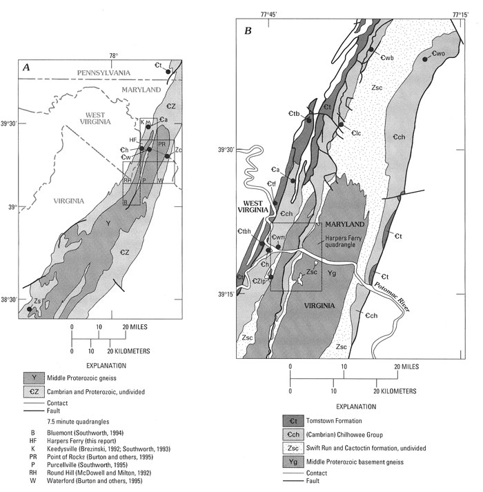
Figure 1. A, The location of the Harpers Ferry quadrangle and adjacent quadrangles within the Blue Ridge-South Mountain anticlinorium (patterned areas). Type localities (solid dots) of the Late Proterozoic and Lower Cambrian rocks are shown.
B, Type localities (solid dots) of the members of the Weverton and Tomstown Formations (Brezinski, 1992). Symbols for type localities in
A and
B are -Ctb, Benevola Member; -Ctf, Fort Duncan Member; -Ctbh, Bolivar Heights Member; -Ca, Antietam Formation; -Ch, Harpers Formation; -Cw, Weverton Formation; -Cwo, Owens Creek Member; -Cwm, Maryland Heights Member; -Cwb, Buzzards Knob Member; -Clc, Loudoun Formation, conglomerate; -CZlp,-Loudoun Formation, phyllite; Zc, Catoctin Formation; Zs, Swift Run Formation.