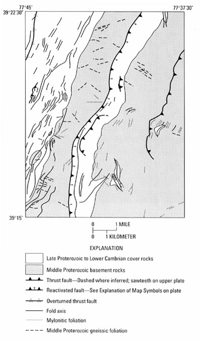
Figure 14.
Generalized tectonic map of the Harpers Ferry quadrangle, highlighting major faults, folds, and foliations.
U.S. Geological Survey
,
U.S. Department of the Interior
This page is https://pubs.usgs.gov/bulletin/b2123/figure14.html
Contact:
Scott Southworth
Last modified 08.29.00