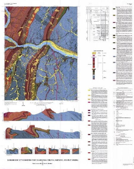
Plate 1.
A
, Thumbnail of the geologic map of the Harpers Ferry quadrangle, Virginia, Maryland, and West Virginia
[Plate is a separate PDF file in one of two resolutions:
72-dot per inch version
(868 KB) |
150-dot per inch version
(6 MB)]
U.S. Geological Survey
,
U.S. Department of the Interior
This page is https://pubs.usgs.gov/bulletin/b2123/plate1.html
Contact:
Scott Southworth
Last modified 08.29.00