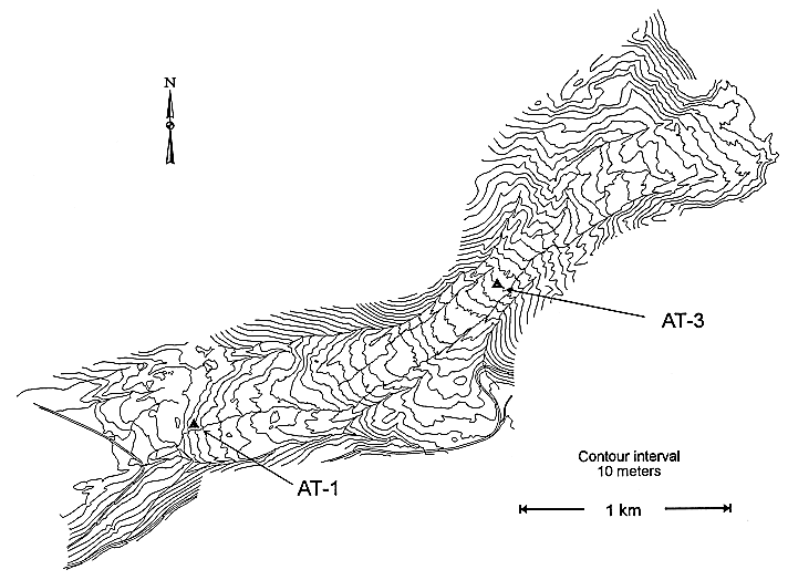
Figure 1.--Map showing the locations of block sample sites AT-1 and AT-3 on the active portion of the Slumgullion landslide. Based on a local coordinate system (Cartesian north (N)-east (E)-elevation in meters) developed by Varnes and others (1993). The locations of block sample sites AT-1 and AT-3 are 10,175 N; 7,505 E; 2,980 m; and 10,785 N; 8,950E; 3,200 m, respectively.
