![]()
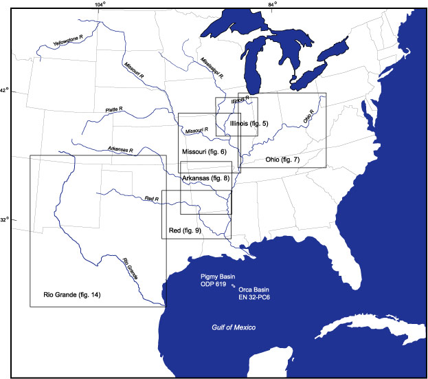
Figure 1. Map showing states in the central and eastern United States, the Gulf of Mexico, the Mississippi River and its major tributaries, and the Rio Grande. Rectangles outline areas of maps (figs. 5, 6, 7, 8, 9, 14) showing locations of gaging stations discussed in text. Location of Ocean Drilling Program (ODP) site 619 in the Pygmy Basin and piston core EN 32-PC6 in the Orca Basin are shown in the Gulf of Mexico.
U.S. Geological Survey, U.S. Department of the Interior
This page is https://pubs.usgs.gov/bulletin/b2187/figure1.html
Contact: Harry Dowsett (hdowsett@usgs.gov)
Last modified 09.07.01 (krw)
This page is https://pubs.usgs.gov/bulletin/b2187/figure1.html
Contact: Harry Dowsett (hdowsett@usgs.gov)
Last modified 09.07.01 (krw)