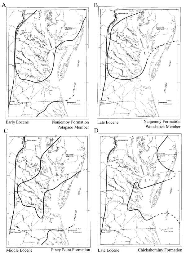
Figure 5.
Maps showing depositional basins in the Salisbury embayment during the Eocene. Dashed lines indicate areas where boundary data are lacking.
U.S. Department of the Interior
,
U.S. Geological Survey
URL: https:// pubsdata.usgs.gov /pubs/circ/2004/1264/html/trip9/fig5.html
For more information, contact
Lauck Ward
.
Maintained by
Reston Publications Service Center
Last modified: 12:25:05 Wed 23 Nov 2016
Privacy statement
|
General disclaimer
|
Accessibility