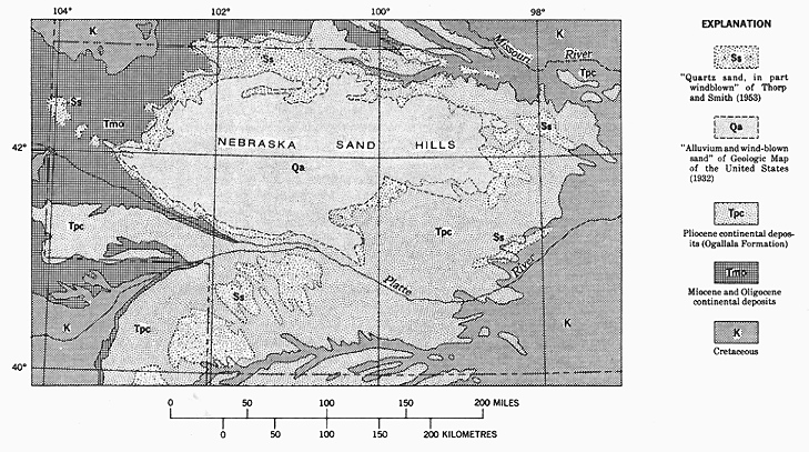
FIGURE 14.--Map of western Nebraska, showing bedrock geology as
represented on the Geologic Map of the United States,
superposed on which are the areas of Quaternary sand
dunes and drifted sand (Sand Hills Formation) as
represented on the Geologic Map of the United States
of 1932 and by Thorp and Smith (1952).