Figure 7.--Index map of the United States, showing areas covered by the different sources used for the subsea contours on the Geologic Map. Numbers are explained on page 18.
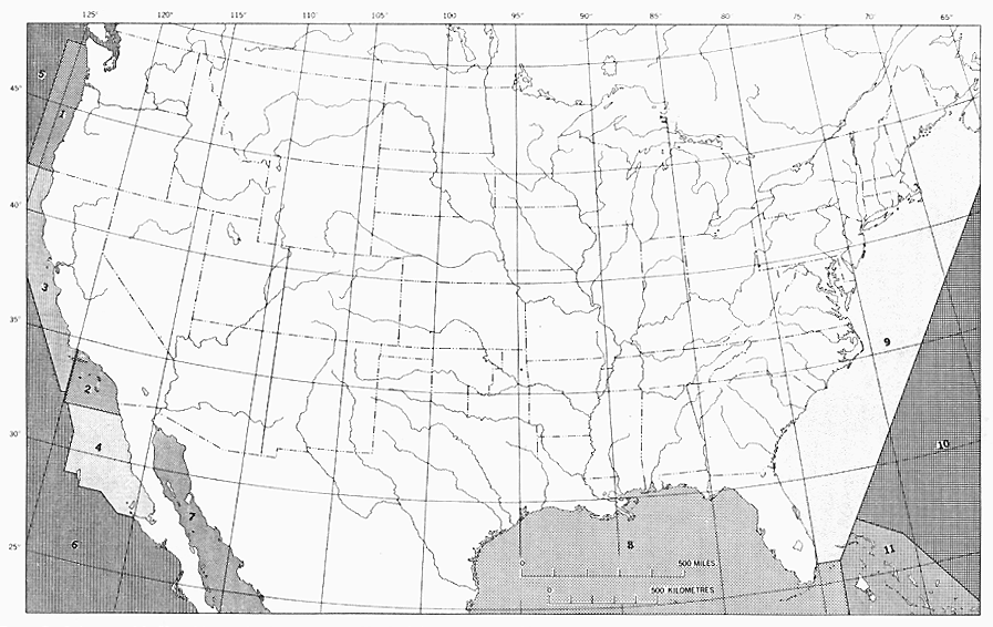
Figure 7.--Index map of the United States, showing areas covered by the
different sources used for the subsea contours on the Geologic
Map. Numbers are explained on page 18.