Skip Links

USGS - science for a changing world

Data Series 897


13BIM02 Location Map


Index | Home | Abbreviations | Contents | Navigation | Profiles | Logs | Metadata | Software


13BIM02 | 13BIM07

13BIM02 Location Map 13c012 printable profile13c007 printable profile13c016 printable profile13c009 printable profile13c014 printable profile13c018 printable profile13c003 printable profile13c001 printable profile13c005 printable profile13c014a printable profile13c017a printable profile13c007a printable profile13c025 printable profile13c023 printable profile13c021 printable profile13c005a printable profile13c013a printable profile13c011b printable profile13c004 printable profile13c002a printable profile13c002 printable profile13c020 printable profile13c015 printable profile13c019a printable profile13c006 printable profile13c017 printable profile13c013 printable profile13c019 printable profile13c010 printable profile13c008 printable profile13c023a printable profile13c022a printable profile13c022 printable profile 13c024 printable profile

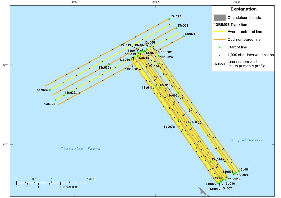
Figure 3. Detailed trackline map for U.S. Geological Survey field activity 13BIM02, offshore of the Chandeleur Islands, Louisiana. Click on a line number to view each subbottom profile (.gif format). Base map modified from USGS 1:100,000-scale Digital Line Graph data (World Geographic System 1984 (WGS84)).


Index | Home | Abbreviations | Contents | Navigation | Profiles | Logs | Metadata | Software

Accessibility FOIA Privacy Policies and Notices

Take Pride in America logo USA.gov logo U.S. Department of the Interior | U.S. Geological Survey
URL: http://pubsdata.usgs.gov/pubs/ds/0897/html/ds897_13bim02.html
Page Contact Information: GS Pubs Web Contact
Page Last Modified: Monday, 28-Nov-2016 20:30:38 EST