Data Series 924
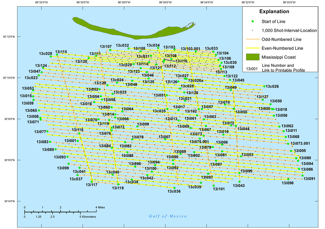
Click on the highlighted area to view the area in greater detail.
Location Map

Figure 3. Location map of all digital subbottom profile data collected during USGS field activity 13CCT04. Base map modified from USGS 1:100,000-scale Digital Line Graph data (World Geographic System 1984 (WGS84)).