Data Series 972
Location Map

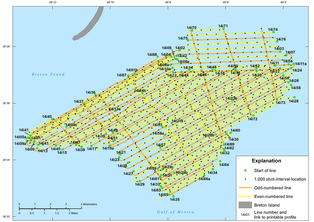
Figure 3. Location map of all digital subbottom profile data collected during USGS field activity 14BIM05. Click on a line number to view each subbottom profile (.gif format). Base map modified from USGS 1:144,225-scale Lidar data (North American Datum 1983 [NAD83] [2011], UTM Zone 16 North).