
U.S. Geological Survey
Data Series 320
Sea-Floor Mapping and Benthic Habitat GIS for the Elwha River Delta Nearshore, Washington |
|
 |
|
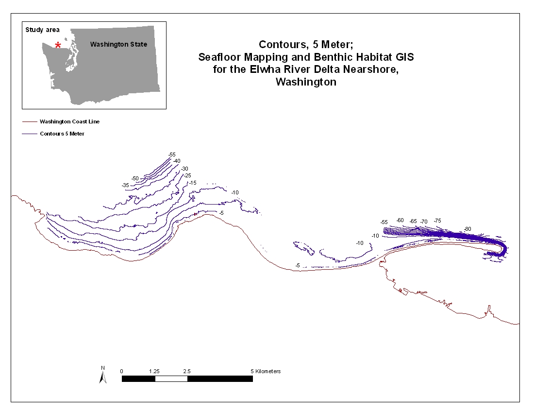
| Map showing 5 Meter contours for the entire study area from cruise K-1-05-PS. | |
Accessibility
|
FOIA
| Privacy
|
Policies and Notices
U.S. Department of the Interior
U.S. Geological Survey
URL: https://pubs.usgs.gov/ds/320/contour5m.html
maintained by Michael Diggles
last modified 4 March 2008 (gc)