Grand Canyon Monitoring and Research Center
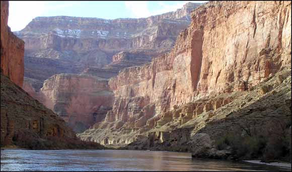
The construction of Glen Canyon Dam, completed in 1963, resulted in substantial physical and biological changes to downstream Colorado River environments between Lake Powell and Lake Mead—an area almost entirely within Grand Canyon National Park, Ariz. In an effort to understand these changes, data have been collected to assess the condition of a number of downstream resources. In terms of measuring water quality, the collection of specific-conductance data is a cost-effective method for estimating salinity. Data-collection activities were initially undertaken by the Bureau of Reclamation’s Glen Canyon Environmental Studies (1982–96); these efforts were subsequently transferred to the U.S. Geological Survey’s Grand Canyon Monitoring and Research Center (1996 to the present). This report describes the specific-conductance dataset collected for the Colorado River between Glen Canyon Dam and Diamond Creek from 1988 to 2007. Data-collection and processing methods used during the study period are described, and time-series plots of the data are presented. The report also includes plots showing the relation between specific conductance and total dissolved solids. Examples of the use of specific conductance as a natural tracer of parcels of water are presented.
Analysis of the data indicates that short-duration spikes and troughs in specific-conductance values lasting from hours to days are primarily the result of flooding in the Paria and Little Colorado Rivers, Colorado River tributaries below Glen Canyon Dam. Specific conductance also exhibits seasonal variations owing to changes in the position of density layers within the reservoir; these changes are driven by inflow hydrology, meteorological conditions, and background stratification. Longer term trends in Colorado River specific conductance are reflective of climatological conditions in the upper Colorado River Basin. For example, drought conditions generally result in an increase in specific conductance in Lake Powell. Therefore, the average annual specific conductance below Glen Canyon Dam is inversely related to the volume of water in Lake Powell.
The data used by this report are provided in downloadable spreadsheet files linked below
Download this report as a 24-page PDF file (ds364.pdf; 1 MB)
View the data used by this report as spreadsheet files (data folder; 7 files, 87 MB total)
For questions about the content of this report, contact Nicholas Voichick
Download the Suggested citation and version history
Download a free copy of the latest version of Adobe Reader.
|
Help |
PDF help |
Publications main page |
| Western Data Series Reports |
| Biological Resources |
Southwest Biological Science Center
|
This report is available only on the Web

![]() U.S. Department of the Interior | U.S. Geological Survey
U.S. Department of the Interior | U.S. Geological Survey
URL: https://pubs.usgs.gov/ds/364/
Page Contact Information: Michael Diggles
Page Last Modified: September 2, 2008
