U.S. Geological Survey Data Series 420
| Item | Details | Trackline Map – UTM Zone 17 |
|---|---|---|
| Minimum Northing Minimum Latitude |
3187642.2 28 48.6943' N |
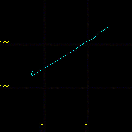 |
| Maximum Northing Maximum Latitude |
3188194.4 28 48.9978' N |
|
| Minimum Easting Minimum Longitude |
388854.4 082 08.3415' W |
|
| Maximum Easting Maximum Longitude |
389731.7 082 07.8054' W |
|Back|

![]() U.S. Department of the Interior |
U.S. Geological Survey
U.S. Department of the Interior |
U.S. Geological Survey
URL: CD/profiles/interactive/08b02_web.html
Page Contact Information: Feedback
Page Last Modified: March 26, 2009 15:25 EST
