U.S. Geological Survey Data Series 421
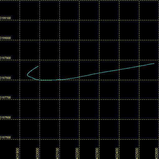
| Item | Details | Trackline Map &ndash UTM Zone 17 |
|---|---|---|
| Minimum Northing Minimum Latitude |
3187796.5 28 48.9580' N |
 |
| Maximum Northing Maximum Latitude |
3187882.7 28 49.0068' N |
|
| Minimum Easting Minimum Longitude |
431936.1 081 41.8540' W |
|
| Maximum Easting Maximum Longitude |
432576.5 081 41.4605' W |
|Back|