Data Series 430
|
|
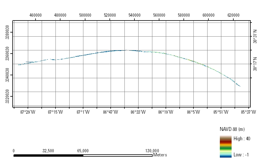
ATM Coastal Topography–Florida 2001: Western PanhandleMosaic: 5-m Resolution
|

![]() U.S. Department of the
Interior | U.S. Geological Survey
U.S. Department of the
Interior | U.S. Geological Survey
URL: https://pubsdata.usgs.gov/pubs/ds/430/html/tile_htmls/mosaic.html
Page Contact Information: Feedback
Maintained by: Publishing Service Center
Page Last Modified: Monday, 28-Nov-2016 13:54:09 EST