USGS - science for a changing world

U.S. Geological Survey Data Series 445

Lake Helen Map


Home | Acronyms | Contents | Navigation | Profiles | Logs | Metadata | Software


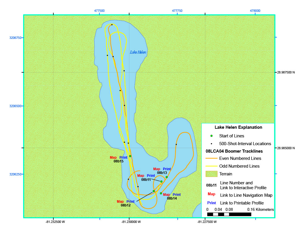
Click on a trackline name to view the geospatial profile image, Map to
view the line navigation map, or Print to view the printable profile image.

Lake Helen map showing lines 08b11 - 08b1508b12 printable profile08b12 line navigation map08b12 interactive profile08b14 interactive profile08b14 line navigation map08b14 printable profile08b15 interactive profile08b15 line navigation map08b15 printable profile08b11 interactive profile08b11 line navigation map08b11 printable profile08b13 printable profile08b13 line navigation map08b13 interactive profile

Location Map | Lake Prevatt | Lake Louisa | Lake Helen | Cherry Lake | Lake Hiawassee |


Home | Acronyms | Contents | Navigation | Profiles | Logs | Metadata | Software

Accessibility FOIA Privacy Policies and Notices

Take Pride in America logo USA.gov logo U.S. Department of the Interior | U.S. Geological Survey
URL: pubsdata.usgs.gov/pubs/ds/445/html/helen.html
Page Contact Information: Feedback
Page Last Modified: May 12, 2009 11:30 EST