U.S. Geological Survey Data Series 445
| Item | Details | Trackline Map – UTM Zone 17 |
|---|---|---|
| Minimum Northing Minimum Latitude |
3162931.6 28° 35.4533' N |
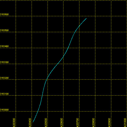 |
| Maximum Northing Maximum Latitude |
3163587.5 28° 35.8097' N |
|
| Minimum Easting Minimum Longitude |
420406.6 081° 48.8389' W |
|
| Maximum Easting Maximum Longitude |
420745.0 081° 48.6339' W |
|Back|

![]() U.S. Department of the Interior |
U.S. Geological Survey
U.S. Department of the Interior |
U.S. Geological Survey
URL: DVD/maps/linenav/08b26_nav.html
Page Contact Information: Feedback
Page Last Modified: May 12, 2009 11:30 EST
