Data Series 465
|
|
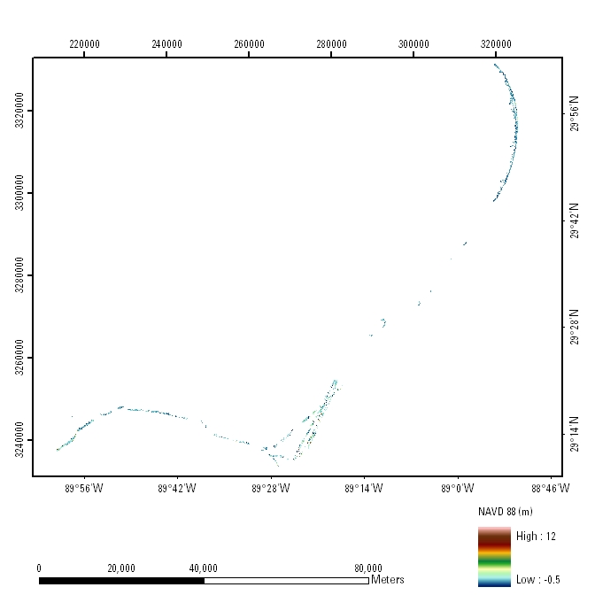
ATM Coastal Topography–Louisiana, 2001: UTM Zone 16 (Part 2 of 2)Mosaic: 5-meter Resolution
|

![]() U.S. Department of the
Interior | U.S. Geological Survey
U.S. Department of the
Interior | U.S. Geological Survey
URL: pubsdata.usgs.gov/pubs/ds/465/html/tile_htmls/mosaic.html
Page Contact Information: Feedback
Page Last Modified: Monday, 28-Nov-2016 14:54:57 EST