 Abstract Abstract
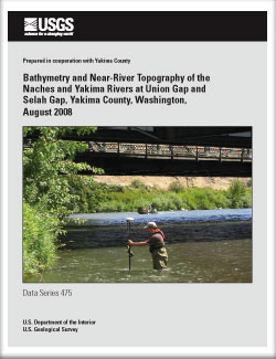
Yakima County is collaborating with the Bureau of Reclamation on a study of the hydraulics and sediment-transport in the lower Naches River and in the Yakima River between Union Gap and Selah Gap in Washington. River bathymetry and topographic data of the river channels are needed for the study to construct hydraulic models. River survey data were available for most of the study area, but river bathymetry and near-river topography were not available for Selah Gap, near the confluence of the Naches and Yakima Rivers, and for Union Gap. In August 2008, the U.S. Geological Survey surveyed the areas where data were not available. If possible, the surveys were made with a boat-mounted, single-beam echo sounder attached to a survey-grade Real-Time Kinematic (RTK) global positioning system (GPS). An RTK GPS rover was used on a walking survey of the river banks, shallow river areas, and river bed areas that were impenetrable to the echo sounder because of high densities of macrophytes. After the data were edited, 95,654 bathymetric points from the boat survey with the echo sounder and 1,069 points from the walking survey with the GPS rover were used in the study. The points covered 4.6 kilometers on the Yakima River and 0.6 kilometers on the Naches River. GPS‑surveyed points checked within 0.014 to 0.047 meters in the horizontal direction and -0.036 to 0.078 meters in the vertical direction compared to previously established survey control points
|
Part or all of this report is presented in Portable Document Format (PDF); the latest version of Adobe Reader or similar software is required to view it. Download the latest version of Adobe Reader, free of charge. |

